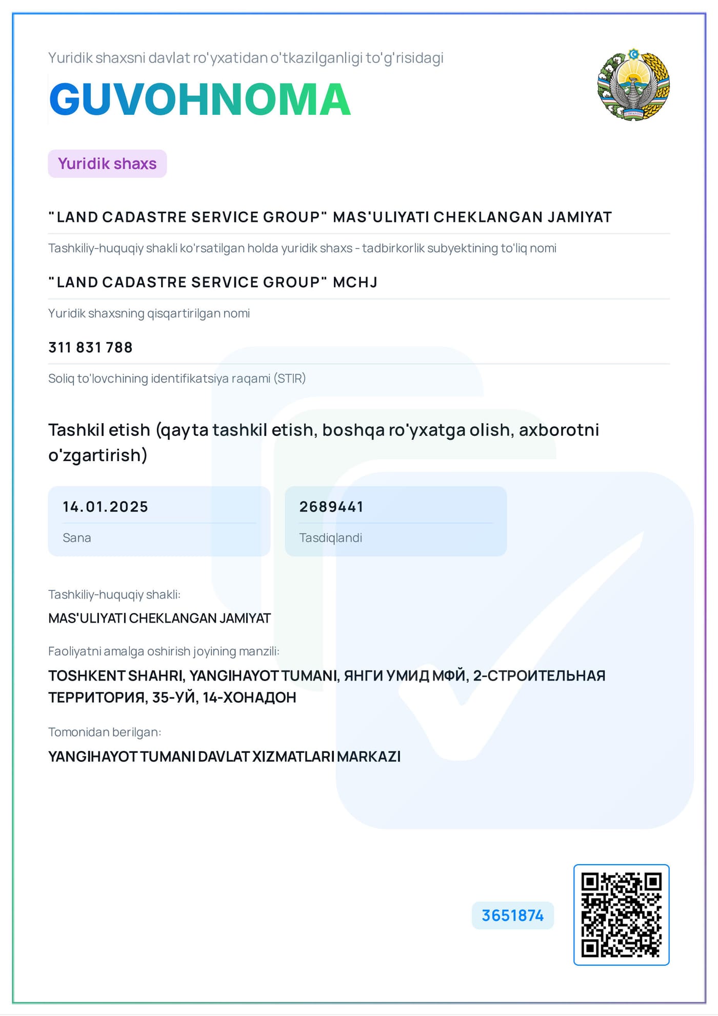
LAND CADASTRE SERVICE GROUP
Geodesy, cartography and cadastre services
"Public trust above profit"
Why choose us?
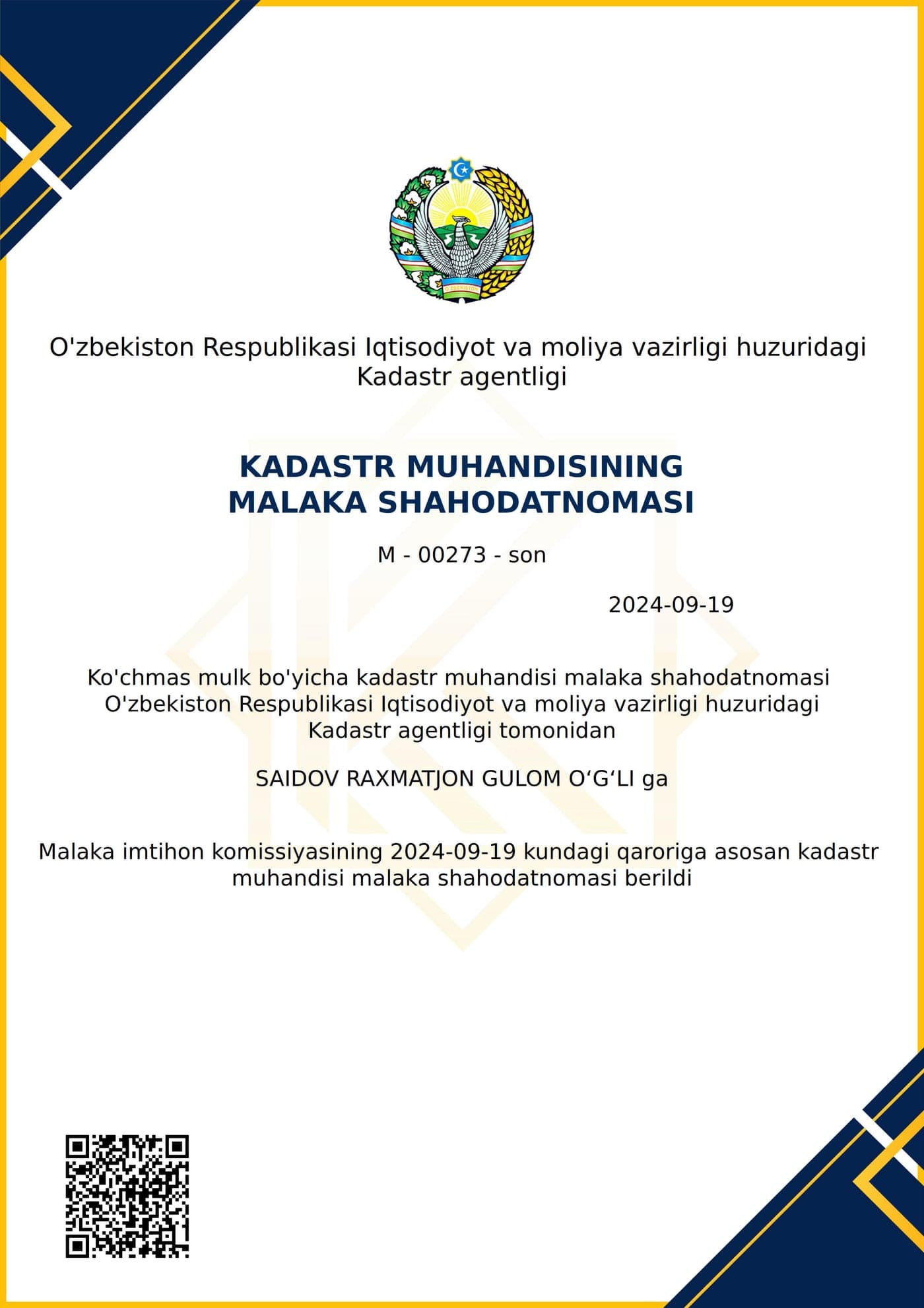
Qualified engineers
A team of professional, licensed specialists with many years of experience.
Modern equipment
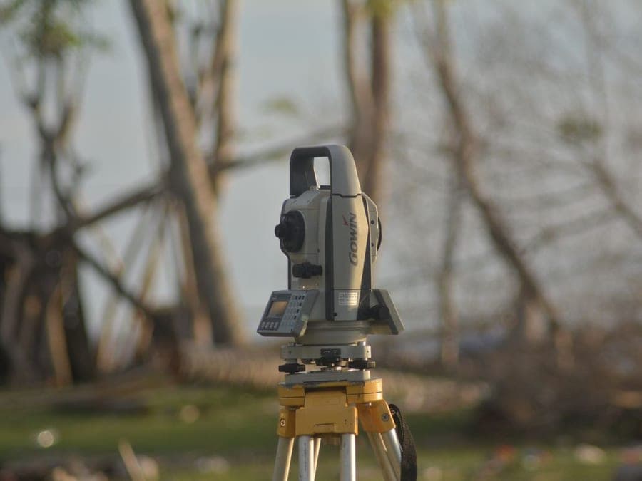
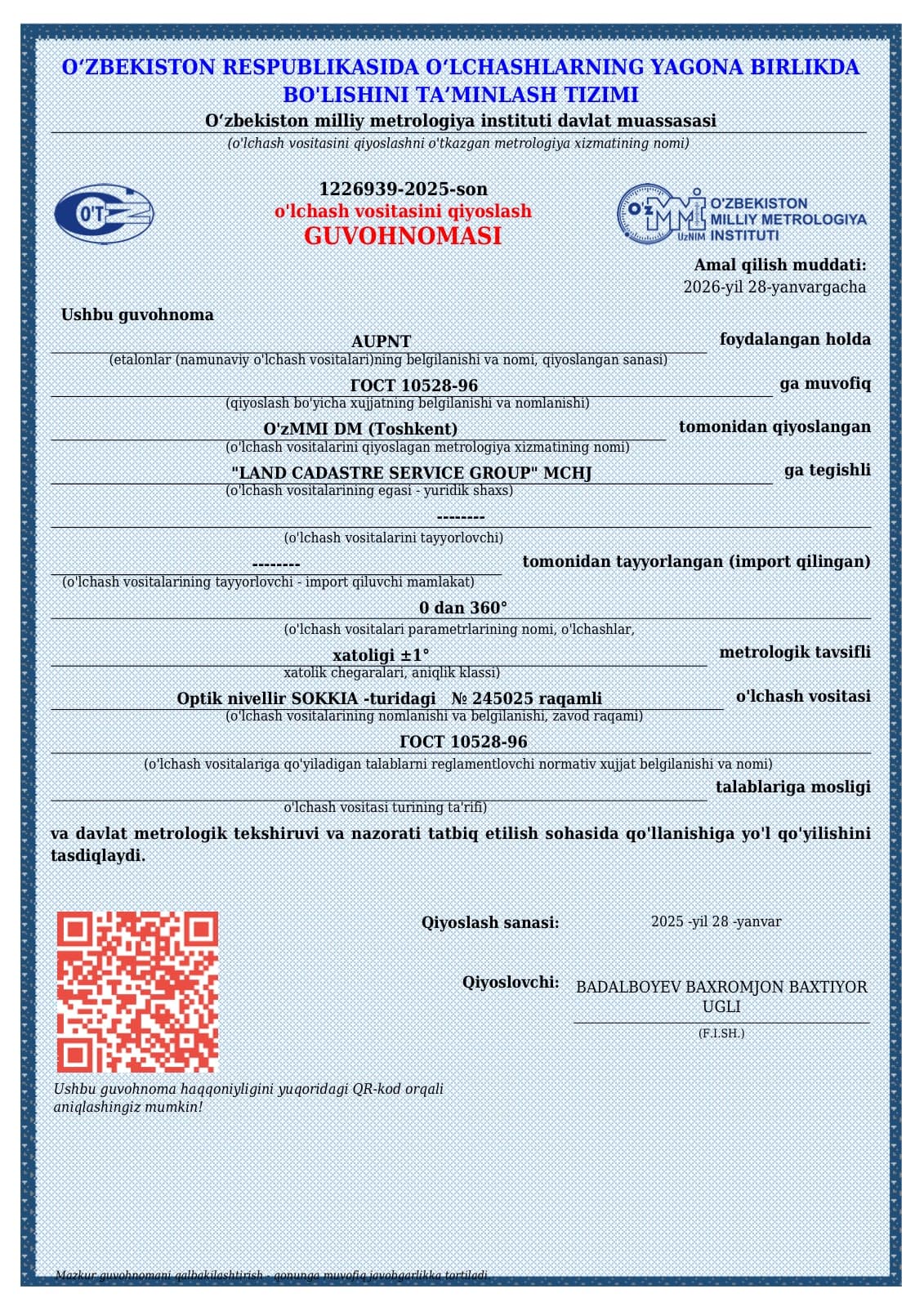
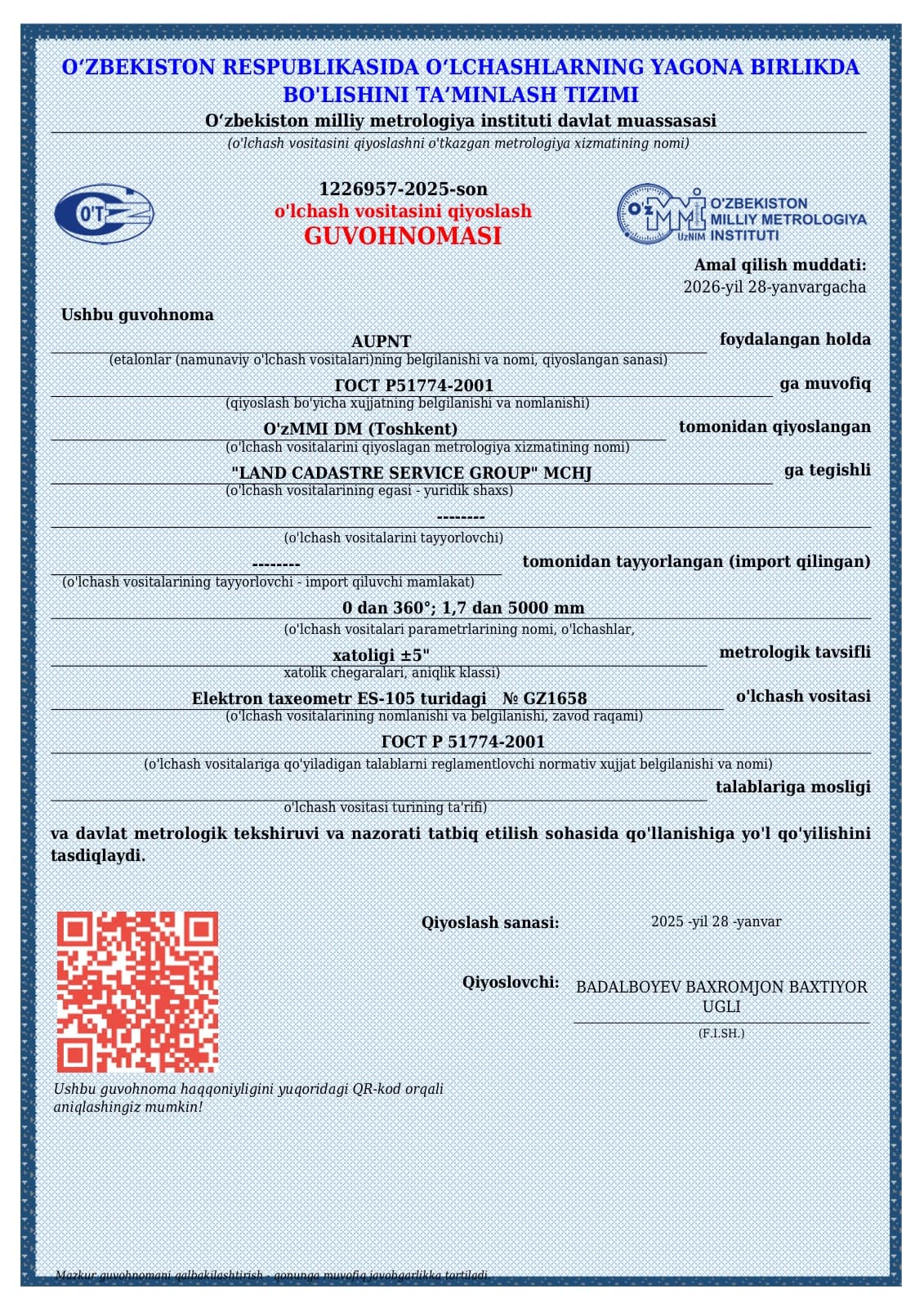
We use the latest generation of geodetic and cartographic equipment.
Legal guarantee
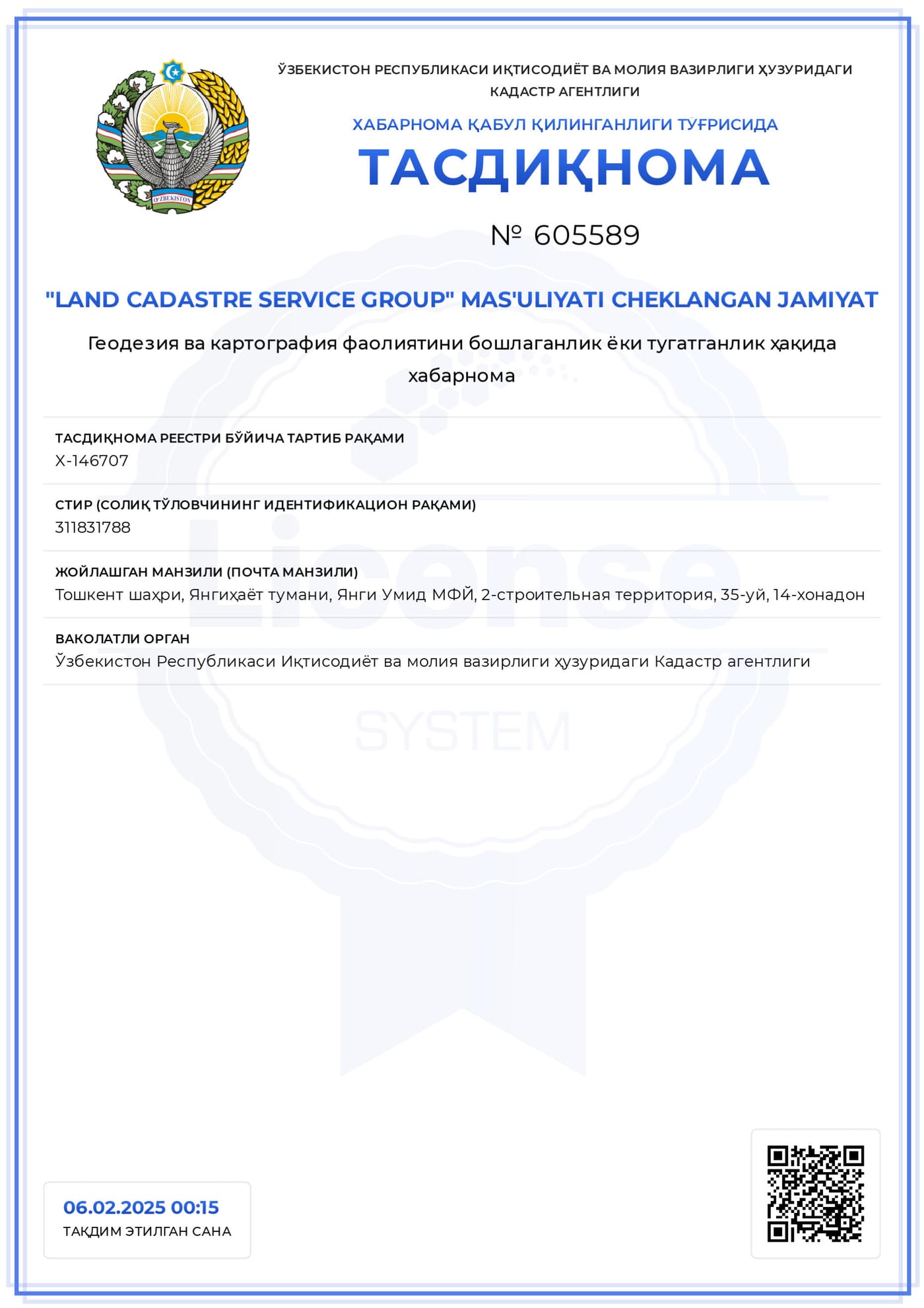
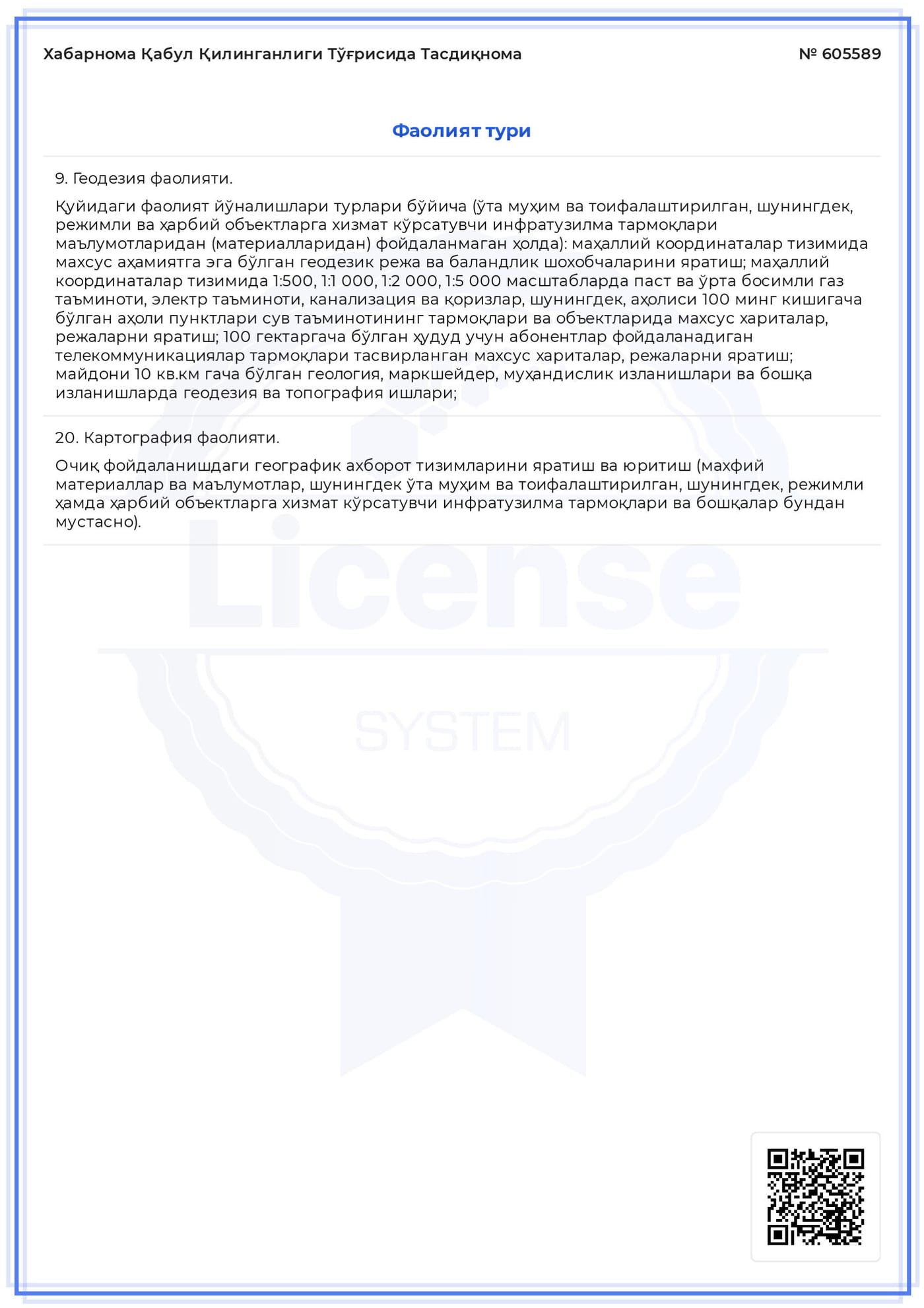
All work is carried out in accordance with current legislation and regulatory documents.
Fast service
Document processing in the shortest possible time without compromising quality.
Our core services
Comprehensive cadastre solutions at a professional level
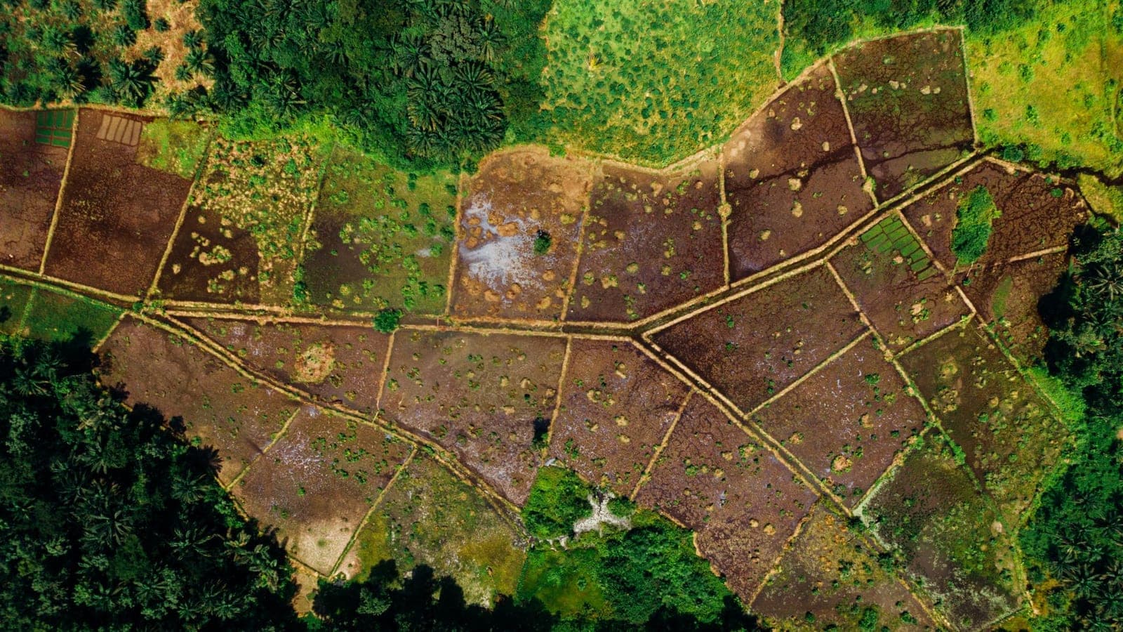
Cartography
Creation of digital and printed maps, and databases for GIS systems.
- GIS design
- Thematic maps
Cadastre
Inventory of real estate objects and preparation of the cadastre passport.
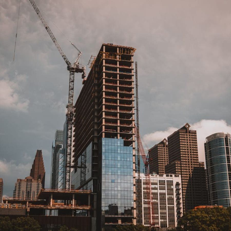
Architecture & Design
Preparation of documents for the design and reconstruction of buildings and structures.
Start a project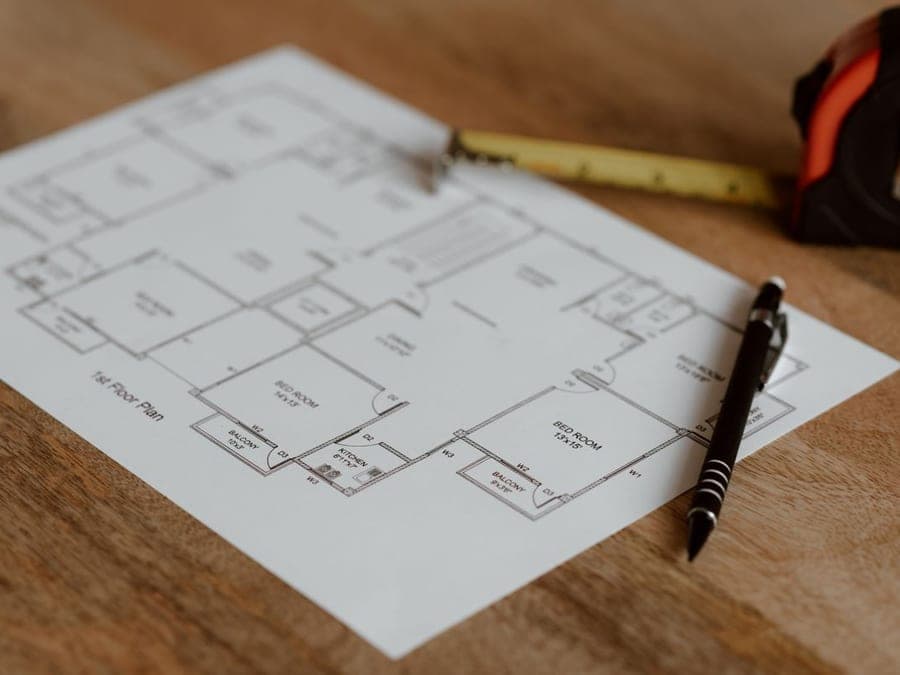
IT services
Modern digital solutions for geodesy and cadastre: GIS software, web platforms and process automation.
How we work?
Our workflow for maximum convenience and accuracy
Request
You contact us by phone or through the website
Consultation
A specialist advises you free of charge
Execution
Measurements are taken and documents prepared
Delivery
You receive the finished documents
Our team
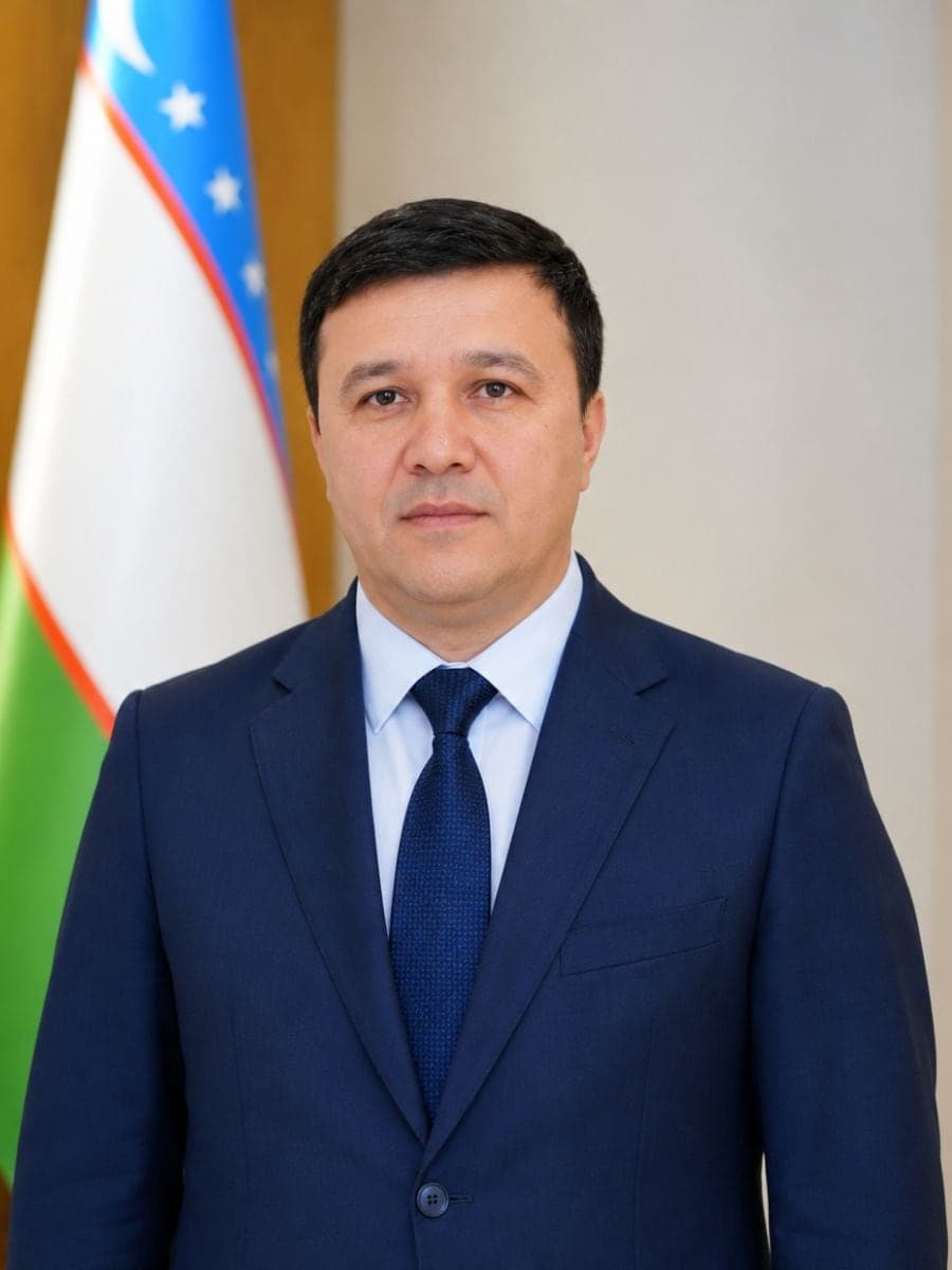
Xamrayev Sanatbek
Director


Get in touch with us
Reach out and our specialists will answer your questions.
Tashkent, Yangihayot district